


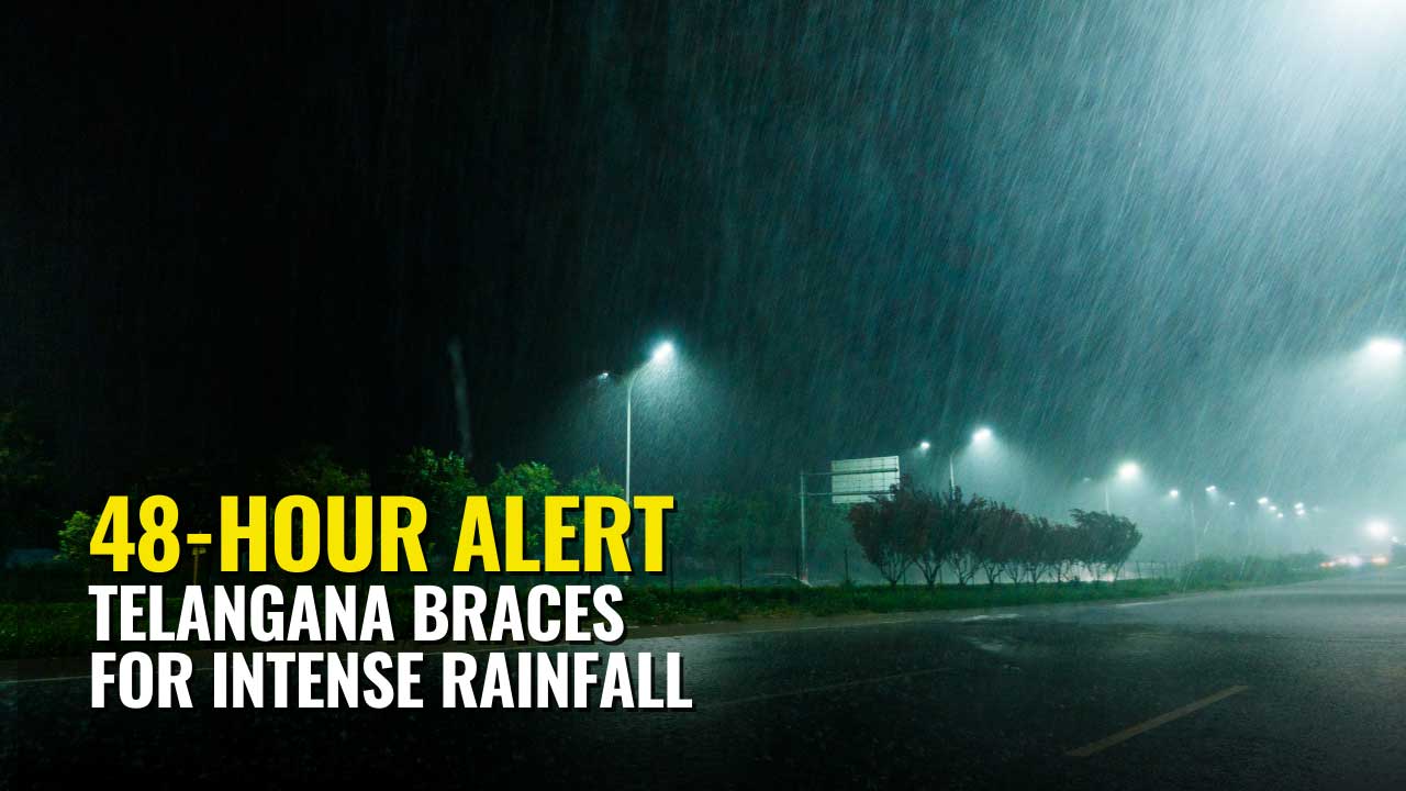
Hyderabad: The India Meteorological Department (IMD) has issued a high-level weather warning for Telangana, urging residents to prepare for a period of heavy to very heavy rainfall, particularly on September 26 and 27. A developing weather system in the Bay of Bengal is forecast to intensify into a depression and make landfall near the South Odisha-North Andhra Pradesh coasts, bringing severe weather conditions to most parts of the state.
Also Read: Telangana Heavy to Extremely Heavy Rain Predicted for 10 Days, Critical Crisis Expected September 26-27
This new alert follows a period of intense rainfall that has already caused widespread disruption and highlights the increasing danger posed by the active monsoon. Authorities are advising the public to avoid all non-essential travel during the critical 48-hour window.
Table of Contents
Critical Weather Timeline: The Next 72 Hours
The weather is expected to progressively worsen over the coming days, culminating in the most intense phase on Tuesday and Wednesday.
- Today (September 24): Light to moderate rain and thundershowers are expected across the state. However, heavy rainfall is likely in isolated areas of Vikarabad, Sangareddy, Mahabubnagar, Nagarkurnool, Wanaparthy, and Jogulamba Gadwal districts. All districts are on alert for thunderstorms with gusty winds of 30-40 kmph.
- Tomorrow (September 25): The intensity will increase, with heavy rainfall forecast for northern and eastern districts, including Adilabad, Nirmal, Nizamabad, Jagtial, Karimnagar, Mulugu, Khammam, Warangal, and Hanumakonda.
- Critical Period (September 26-27): This 48-hour period is marked as the most dangerous. Heavy to very heavy rainfall is forecast for a large swathe of the state, including Adilabad, Nirmal, Nizamabad, Jayashankar Bhupalpally, Mulugu, Warangal, Hanumakonda, Jangaon, Siddipet, Yadadri Bhuvanagiri, Vikarabad, Sangareddy, Medak, and Kamareddy.
Bay of Bengal System Intensifies
The severe weather is being driven by a low-pressure area currently over the northwest Bay of Bengal. This system is expected to strengthen into a depression by September 26. The IMD predicts it will cross the South Odisha-North Andhra Pradesh coasts around September 27, and its movement and intensity will directly dictate the severity of rainfall over Telangana.
Hyderabad on High Alert for Urban Flooding
The state capital is facing a significant threat of severe urban flooding. Forecast models indicate that Hyderabad could receive between 120-200mm of rainfall during the peak period.
Recent events on September 22-23, where some parts of the city recorded over 140mm of rain, serve as a stark reminder of Hyderabad’s vulnerability. The downpour led to severe waterlogging, traffic chaos, infrastructure damage, and multiple casualties. Key areas in the IT Corridor like Gachibowli and Madhapur, along with low-lying underpasses, are at high risk of being inundated.
District-Wise Risk Assessment
High-Risk Districts (Sept 26-27):
- Adilabad, Nirmal, Nizamabad: Forecasted to receive heavy to very heavy rainfall.
- Jayashankar Bhupalpally, Mulugu: Key agricultural zones are under severe threat.
- Warangal, Hanumakonda: Major urban centers face a high risk of significant flooding.
- Vikarabad, Sangareddy: Expected to receive 100-150mm of rain, posing a major risk to agriculture.
Moderate-Risk Districts:
- Hyderabad, Rangareddy: Heavy rainfall with serious urban flooding concerns.
- Khammam, Nalgonda: Potential for disruption to transportation and infrastructure.
Economic and Agricultural Impact
The agricultural sector, already reeling from recent rains, faces a deepening crisis. An estimated 2.36 lakh acres of crops across 82 mandals have already been damaged. This upcoming spell of heavy rain threatens Kharif crops like paddy and cotton at their most critical growth stage, potentially leading to devastating losses for farmers.
Government Response and Emergency Protocols
Chief Minister A. Revanth Reddy has directed all state departments to activate comprehensive emergency protocols. The Telangana State Disaster Management Authority (TSDMA) is on high alert, and the State Disaster Relief Fund (SDRF) is prepared for immediate deployment. Coordinated efforts between the GHMC, Police, Traffic, Energy, and disaster response forces are underway to mitigate the impact.
Public Advisory: Stay Home, Stay Safe
Authorities have issued a stern advisory, urging citizens to exercise extreme caution and venture outdoors only if absolutely necessary. The primary focus is on preserving life and preventing accidents in waterlogged and high-risk areas.
Essential Safety Precautions:
- Stay Indoors: Avoid all non-essential travel, especially during peak rainfall.
- Avoid Flooded Areas: Never attempt to drive or walk through waterlogged streets. The depth and current can be deceptive.
- Prepare an Emergency Kit: Stock up on drinking water, non-perishable food, medicines, flashlights, and batteries to last at least 72 hours.
- Stay Connected: Keep mobile phones and power banks fully charged.
- Monitor Official Updates: Rely only on information from official sources like the IMD and local disaster management authorities.
Critical Emergency Contacts
- NDRF: 8333068536
- GHMC Emergency: 040-21111111, 9000113667
- Disaster Response Force: 9000113667
- State Emergency Operations Center: 040-23450779
- Traffic Control: 8712660600
- Power Outages (TGSPDCL): 7901530966
The weather emergency may extend into early October, as the after-effects of the depression could lead to continued rainfall. All residents are advised to remain vigilant and prepared for sustained emergency conditions.