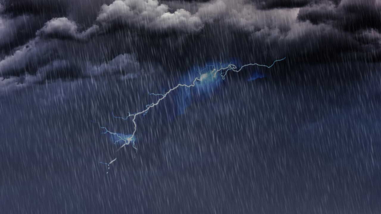
HYDERABAD: November 4, 2025 – Hyderabad and surrounding districts in Telangana are bracing for heavy rainfall and thunderstorms today as two weather systems converge over the region. The India Meteorological Department (IMD) has issued a yellow alert warning of light to moderate rainfall accompanied by lightning and gusty winds across multiple districts, including the state capital.
The current weather situation represents an unusual atmospheric pattern for November, marked by the persistence of southwest monsoon remnants colliding with the early arrival of the northeast monsoon. This convergence has created favorable conditions for successive weather systems to impact the region through November 6-7.
Table of Contents
Current Weather Systems and District Impact
Heavy rain and thunderstorms are currently affecting northern and western districts of Telangana, with new storm cells forming over Medak and Sangareddy that are expected to move into Hyderabad by afternoon.
Active rainfall is currently occurring in several districts including Hanmakonda, Jangaon, Yadadri-Bhongir, Nalgonda, and Nagarkurnool. These storm systems are expected to continue for approximately two more hours before spreading southward toward Warangal, Mahabubabad, Suryapet, Rangareddy, and Vikarabad.
The storm cells developing over Medak and Sangareddy represent the most critical development, as meteorological officials confirm these will move directly into Hyderabad by afternoon, bringing the heaviest weather impacts to the state capital.
IMD Official Warnings and Risk Assessment
The India Meteorological Department has issued a yellow alert specifying that thunderstorms accompanied by lightning and gusty winds (30-40 kmph) are very likely at isolated places across 20 districts.
The warning carries a “medium risk” rating, indicating minor damage to loose or unsecured structures is possible. The affected districts include: Nalgonda, Suryapet, Mahabubabad, Warangal, Hanamkonda, Jangaon, Siddipet, Yadadri Bhuvanagiri, Rangareddy, Hyderabad, Medchal-Malkajigiri, Vikarabad, Sangareddy, Medak, Kamareddy, Mahabubnagar, Nagarkurnool, Wanaparthy, Narayanpet, and Jogulamba Gadwal.
Emergency Preparedness and Government Response
Given the rapid convergence of multiple storm systems, city authorities have implemented multi-agency coordination through the Telangana Integrated Command and Control Centre (TGiCCC).
The Greater Hyderabad Municipal Corporation (GHMC) has identified 436 flood-prone areas citywide, with 150 marked as high-risk zones. Emergency Response Teams have been strategically deployed across low-lying and historically waterlogged locations.
The Hyderabad Metropolitan Water Supply and Sewerage Board (HMWSSB) has issued specific public advisories against opening manhole covers during heavy rainfall, noting this poses severe electrocution and contamination risks. The Water Board is maintaining round-the-clock vigilance to prevent sewage overflow and ensure uninterrupted drinking water supply with proper chlorine levels.
Broader Meteorological Context
The current severe weather episode follows just days after Cyclone Montha ravaged Telangana on October 29, causing preliminary estimated losses of approximately ₹10,000 crore across 12 districts.
According to meteorological analysts, Telangana recorded 31% excess rainfall during the southwest monsoon season (June to September 2025), significantly above the normal average. October 2025 became the wettest October on record for Telangana, with the monsoon extending three weeks beyond its normal withdrawal date.
This meteorological anomaly is driven by a low-pressure system over the Bay of Bengal coupled with an upper-air cyclonic circulation centered over Vidarbha and its adjoining Marathwada region. The system is channeling abundant moisture into the region, creating conditions favorable for successive weather systems.
Public Safety Advisories and Precautions
Residents are strongly advised to:
- Remain indoors during thunderstorms
- Avoid standing under trees or in open spaces during lightning activity
- Plan journeys carefully as routes may experience waterlogging
- Check weather updates frequently through official IMD sources
The IMD recommends using official weather applications including the Damini app for lightning tracking, Mausam app for forecasts, and Meghdoot app for agriculture-specific warnings.
Agricultural Implications and Water Management
While the successive heavy rainfall systems pose immediate flooding risks, the continued moisture availability through November 7 offers unexpected benefits for water resources management. State reservoirs continue to fill to healthy levels following Cyclone Montha’s inflows, with major reservoirs filled to 90% capacity.
However, the staggered storm systems delay crop recovery and harvesting operations for farmers still assessing Cyclone Montha’s damage, potentially prolonging economic disruption in agricultural districts. Cyclone Montha previously damaged 2.82 lakh acres of paddy and 1.51 lakh acres of cotton, affecting 2.53 lakh farmers primarily in Warangal, Hanmakonda, Jangaon, and Khammam.
The rapid succession of severe weather systems has left already-waterlogged areas and saturated soil conditions throughout northern and central Telangana, amplifying flooding risks even from moderate rainfall.
Authorities continue to monitor the situation closely, with the IMD forecasting light to moderate rain or thundershowers at isolated places across Telangana through November 6, with dry weather expected to prevail from November 7 onwards.
