Alert in Andhra Pradesh as heavy rain lashes Rayalaseema, South Coast
The Andhra Pradesh government on Wednesday placed the state machinery on high alert as the India Meteorological Department (IMD) has issued a red alert for a few districts in view of low pressure in the Bay of Bengal, which is likely to intensify into a cyclonic storm.
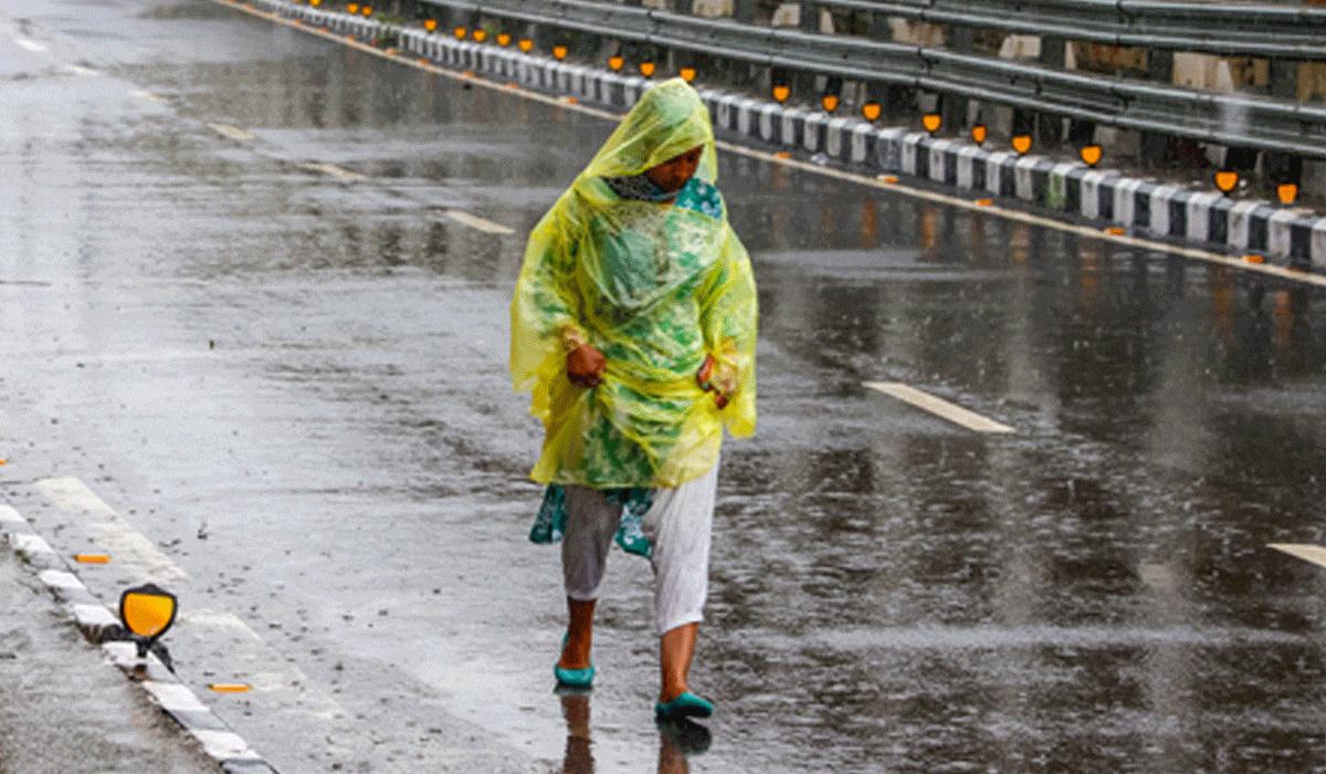
Amaravati: The Andhra Pradesh government on Wednesday placed the state machinery on high alert as the India Meteorological Department (IMD) has issued a red alert for a few districts in view of low pressure in the Bay of Bengal, which is likely to intensify into a cyclonic storm.
Minister for Home and Disaster Management V. Anitha reviewed the situation with the officials of the Disaster Management Authority. She directed that NDRF, SDRF, police and fire personnel should be ready for rescue and relief operations.
The Home Minister said control rooms in the districts should be on alert round-the-clock. She directed officials to take steps to prevent loss of life and ensure that people do not suffer any inconvenience.
Also Read: Political row erupts after Bhai Jagtap says Congress to go solo in BMC polls
She directed them to send warning messages to the people from time to time on weather conditions.
For any assistance, people can contact the 24-hour toll-free numbers 112, 1070, 18004250101.
The IMD issued a red alert for SPSR Nellore, Prakasam, YSR Kadapa, Annamayya, Tirupati and Chittoor districts. Extremely heavy rainfall (more than 204.5 mm) is expected at isolated places in these districts.
The IMD also issued an orange alert for the districts of Kurnool, Nandyal, Anantapur, Sri Sathya Sai and Bapatla.
Parts of Rayalaseema and South Coastal Andhra Pradesh have been receiving heavy rain since Tuesday, as there is one depression over the southeast Arabian Sea, and another depression is likely to be formed over the Bay of Bengal.
The IMD said in a bulletin that the well-marked low-pressure area over the southeast Arabian Sea concentrated into a depression and lay centred at 5.30 a.m. on Wednesday (October 22). It is likely to move slowly north-northwestwards during the next 24 hours.
Meanwhile, the well-marked low-pressure area over the Bay of Bengal moved northwestwards and lay over the southwest Bay of Bengal at 5.30 a.m. on Wednesday. It is likely to intensify into a depression over the southwest and adjoining west central Bay of Bengal, off the north Tamil Nadu and south Andhra Pradesh coasts during the next 12 hours. Thereafter, it is likely to move across north Tamil Nadu, Puducherry and south Andhra Pradesh coasts during the subsequent 12 hours.
Under the influence of these two systems, strong winds, thunderstorms and lightning are also expected in the districts of Rayalaseema and South Coastal Andhra Pradesh.
According to the State Disaster Management Authority, many places in South Coastal Andhra Pradesh and Rayalaseema received moderate to heavy rainfall between Tuesday, 8.30 a.m. and Wednesday, 8.30 a.m.
Srikalahasti and Thottambedu mandals in Tirupati district received rainfall of 184.6 mm and 176.8 mm, respectively. Kodur mandal in Annamayya district recorded 151.3 mm of rainfall during the same period. Seven other mandals of Tirupati district received rainfall between 109.2 mm and 149.4 mm.