Cyclonic circulation lies over Southwest & Westcentral Bay of Bengal: Met
A cyclonic circulation lies over the southwest and adjoining Westcentral Bay of Bengal off the North Tamil Nadu coast extends upto 5.8 km above mean sea level tilting south-westwards with height, Meteorological Centre said on Saturday.
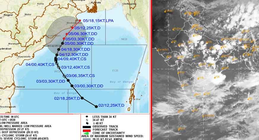
Amaravati: A cyclonic circulation lies over the southwest and adjoining Westcentral Bay of Bengal off the North Tamil Nadu coast extends upto 5.8 km above mean sea level tilting south-westwards with height, Meteorological Centre said on Saturday.
In a daily weather report here, it said that cyclonic circulation lies over the Central Andaman Sea and extends upto 5.8 km above mean sea level.
Under its influence, a low-pressure area is likely to form over East Central Bay of Bengal and adjoining north Andaman Sea on October 21. Thereafter, it is likely to move northwestwards and intensify further into a depression around October 23.
The trough from the centre of above low pressure area over east central Arabian Sea to south Andhra Pradesh coast across south Karnataka & Rayalaseema extending upto 3.1 km above mean sea level has become less marked.
Under its influence, heavy rain is likely to occur at isolated places in North Coastal Andhra Pradesh & Yanam during the next 48 hours and in South Coastal Andhra Pradesh and Rayalaseema during the next 24 hours.
Thunderstorm accompanied with lightning is likely to occur at isolated places in Coastal Andhra Pradesh & Yanam and Rayalseema during the next three days.
Light to moderate rain or thundershowers is likely to occur at a few places in Coastal Andhra Pradesh & Yanam and Rayalaseema during the next seven days.
Heavy rainfall occurred in SPSR Nellore District of South Coastal Andhra Pradesh and Tirupati district of Rayalaseema during the last 24 hours.
Rainfall occurred at many places in Coastal Andhra Pradesh & Yanam and most places in Rayalaseema during the same period, the report added.