Hyderabad Braces for Heavy Rain & Thunderstorms: Monsoon Returns with Gusty Winds (June 9-12)
Heavy rain & thunderstorms to lash Hyderabad June 9-12! Gusts up to 40 kmph, lightning expected. Full forecast, affected areas, and safety tips inside.
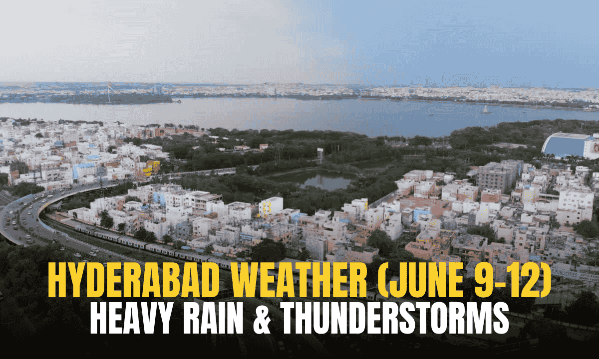
Hyderabad: After a week-long dry spell, Hyderabad and surrounding districts are set for intense rainfall and thunderstorms starting June 9th, lasting until June 12th. The weather department forecasts widespread heavy downpours, lightning, and gusty winds reaching 30-40 kmph across the city and Telangana.
Also Read: Telangana’s Airport Network Expands: Two New Airports to Open by 2027.
Table of Contents
Key Weather Details
- Duration: June 9 to June 12
- Intensity: Moderate to heavy rain, thunderstorms, frequent lightning
- Winds: Strong gusts of 30-40 kmph
- Affected Areas: All Hyderabad zones—including Charminar, Khairatabad, Kukatpally, LB Nagar, Secunderabad, and Serilingampally—and most Telangana districts.
Weather Shift Underway
The change began Monday (June 3), with overcast skies and cool breezes sweeping Hyderabad, dropping temperatures and offering relief from last week’s heat. This marks the precursor to the incoming monsoon surge. Light showers may occur sporadically before the heavy downpours commence on Sunday.
Precautions Advised
Residents should prepare for:
- Reduced visibility during peak rainfall
- Possible traffic disruptions and waterlogging in low-lying areas
- Tree damage or power outages due to strong winds
- Lightning risks in open areas
Monsoon’s Impact
The return of rain will replenish water reservoirs and cool temperatures after days of heat. However, commuters are urged to check routes before traveling, and outdoor events should factor in weather contingencies.
While isolated thunderstorms may continue beyond June 12, the heaviest activity is concentrated during this four-day window. The weather department continues monitoring the system for updates