New Elevated Corridor Proposed to Tackle Heavy Traffic in Hyderabad’s IT Hub
Hyderabad is gearing up for a major infrastructure boost, as the government has proposed the construction of a third elevated corridor aimed at reducing growing traffic congestion in the city’s fast-expanding western region.
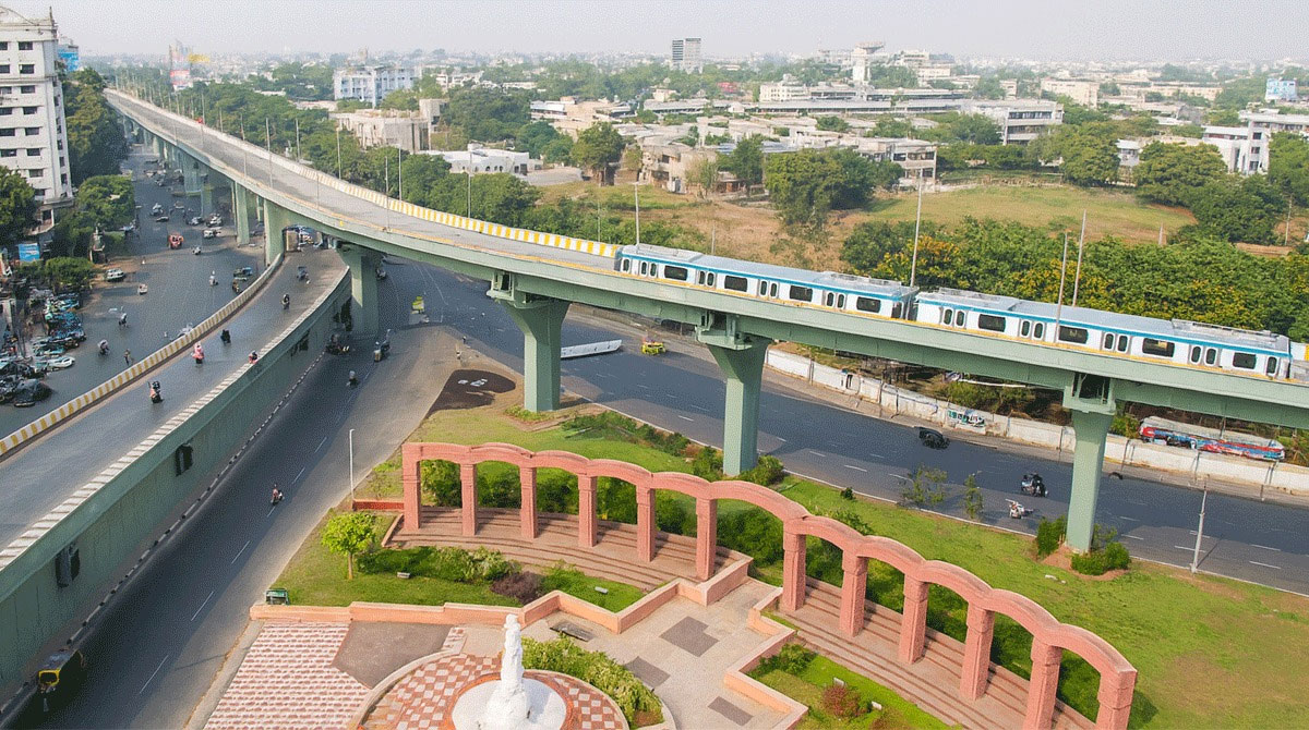
Hyderabad is gearing up for a major infrastructure boost, as the government has proposed the construction of a third elevated corridor aimed at reducing growing traffic congestion in the city’s fast-expanding western region.
The plan comes after the approval of two earlier elevated corridors — Paradise Junction to Shamirpet ORR and Paradise Junction to Dairy Farm Road. As per the new proposal, a 9-kilometre elevated link will connect ICCC (Road No. 12, Banjara Hills) to Shilpa Layout Flyover, providing a direct, seamless stretch to key IT and residential hubs.
Follow for more details: munsifdaily.com
A standout feature of the project is its integrated design. The corridor will be built with a shared pier system capable of supporting future Metro Rail operations, ensuring both road and metro services can run on the same structure.
Officials say the proposed corridor will significantly ease traffic bottlenecks at major choke points including Film Nagar, Road No. 45, Jubilee Hills Checkpost, the Hitec City approach road, and the broader IT corridor. The smoother flow of vehicles is also expected to cut down fuel wastage, reduce idling-related pollution, and enhance overall commute efficiency.
Also Read: Masala Bond case: KIIFB moves Kerala HC for stay on ED action
The Hyderabad Metropolitan Development Authority (HMDA) has been instructed to prepare a detailed feasibility study covering key aspects such as alignment planning, land acquisition, environmental impact assessments, and traffic behaviour. If the project is deemed viable, it will be executed under the DBFOT (Design–Build–Finance–Operate–Transfer) model.
HMDA will appoint a team of technical, financial, and legal experts to prepare the feasibility report, Detailed Project Report (DPR), and tender documents. Consultants will also assess traffic demand, preliminary structural designs, utility shifting, and overall project cost. Field surveys will determine the final alignment, bridge locations, and intersection layouts.
With this ambitious proposal, Hyderabad moves one step closer to transforming mobility in the western part of the city, offering residents faster, cleaner, and more reliable travel options.