Rain likely to ease Delhi-NCR heat as IMD issues five-day alert
According to the IMD, Delhi's weather is likely to remain partly cloudy for the next five days, with sunshine during the day giving way to cloud cover. Gusty winds are expected during the afternoon, followed by isolated rain in the evening. Similar weather conditions are likely in adjoining areas, including Noida and Ghaziabad.
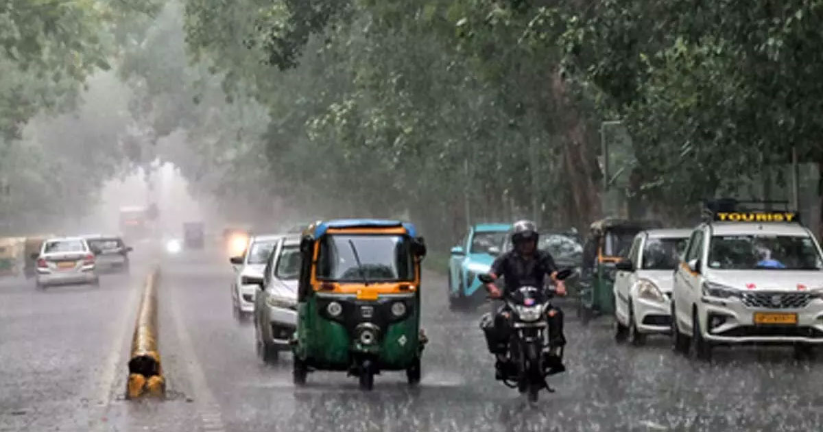

New Delhi: The southwest monsoon is yet to fully cover northern India, but intermittent rainfall over the coming days is expected to provide much-needed relief from the prevailing heat in Delhi-NCR and neighbouring regions. The India Meteorological Department (IMD) has forecast light showers in the national Capital on June 27 and again between July 1 and 2, while rainfall is also expected across several parts of Uttar Pradesh over the next few days.
According to the IMD, Delhi’s weather is likely to remain partly cloudy for the next five days, with sunshine during the day giving way to cloud cover. Gusty winds are expected during the afternoon, followed by isolated rain in the evening. Similar weather conditions are likely in adjoining areas, including Noida and Ghaziabad.
The weather department has also predicted changes in weather patterns across Punjab, Haryana and Chandigarh. In Rajasthan, western districts are under a rain alert for June 27, with the possibility of thunderstorms, lightning and gusty winds.
Wind speeds may reach up to 50 kmph in western Rajasthan between June 28 and July 2, while eastern Rajasthan is also expected to witness similar conditions until July 2.
In Uttarakhand, thunderstorms accompanied by lightning and rain are likely between June 30 and July 2, the IMD said.
The weather office has further indicated that conditions are becoming favourable for the southwest monsoon to advance into more parts of Gujarat, Madhya Pradesh, Chhattisgarh, Jharkhand, Bihar, Uttar Pradesh and Uttarakhand over the next three to four days.
Recent satellite images captured by INSAT-3DS show dense monsoon cloud cover spread across central India, the Bay of Bengal, the northeastern states and parts of southern India. However, large parts of Delhi-NCR, Haryana, Punjab, western Uttar Pradesh and Rajasthan continue to experience relatively clear skies, indicating that the monsoon has not yet fully established itself over these regions.
Follow for more details: munsifdaily.com
Meteorologists explained that while the monsoon circulation is steadily moving northward, the weather systems required to trigger widespread rainfall over northwestern India are still developing.
The official advance of the monsoon is determined by factors such as wind patterns, moisture levels and sustained rainfall over a large area, rather than rainfall occurring simultaneously in every district.
As a result, a state can officially come under the influence of the monsoon even though several cities within it continue to experience hot and dry conditions for a few more days.
Experts say the current pause in monsoon activity is mainly due to the absence of strong low-pressure systems over the Bay of Bengal. Such systems play a crucial role in strengthening the monsoon by drawing moisture inland and spreading rainfall across central and northern India. Without these weather systems, the moisture-laden southwesterly winds remain relatively weak, resulting in scattered rather than widespread rainfall.
However, weather models indicate that the situation may improve soon. A large tropical weather system is expected to develop over the eastern Indian Ocean and gradually move into the Bay of Bengal over the next four to seven days. This could strengthen the monsoon flow and lead to the formation of a low-pressure area over the Bay of Bengal, along with a middle-tropospheric vortex over western India.
If these systems develop as projected, rainfall activity is expected to intensify during the first week of July, accelerating the monsoon’s progress across the remaining parts of northwest India, including Delhi-NCR.