Big Boost for Hyderabad Traffic, City to Get a 9-Kilometre Elevated Corridor Connecting Key Zones Soon
Hyderabad is set for a major decongestion boost with a proposed nine-kilometre elevated corridor connecting Key Zones in city. The project aims to ease traffic in Filmnagar, Jubilee Hills, Road No. 45, and the IT corridor. Full details from Munsif News 24x7.
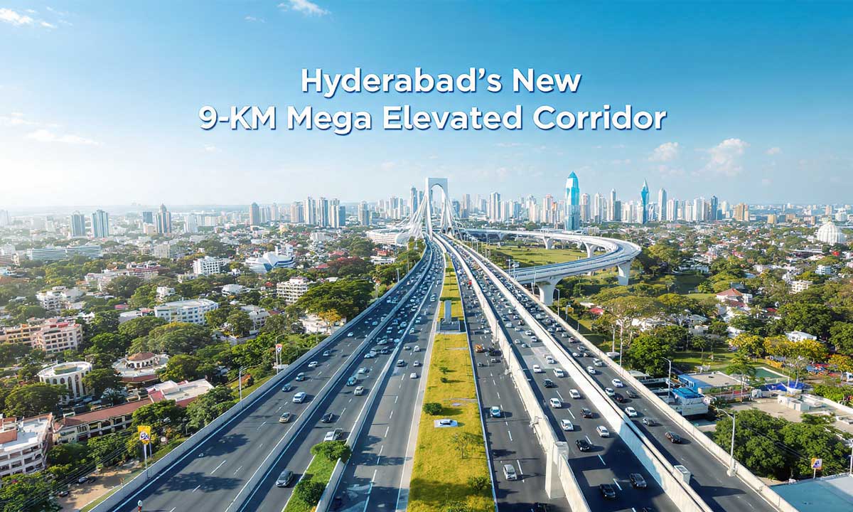
Hyderabad may soon witness a major breakthrough in urban mobility with the proposal of a nine-kilometre elevated corridor connecting Banjara Hills (Road No. 12, ICCC) to the Shilpa Layout Flyover. The project is expected to significantly reduce traffic congestion across the western corridor, one of the city’s fastest-developing zones.
Table of Contents
The elevated road is being designed with a Metro Rail–compatible pier system, allowing future metro expansion without requiring additional land. This long-term mobility plan aims to improve travel efficiency for lakhs of commuters moving toward Hitec City, Jubilee Hills, and the IT hub.
Key Features of the Proposed Elevated Corridor
Decongestion Bid
- Length: Approximately 9 km
- Route: ICCC (Banjara Hills Road No. 12) → Shilpa Layout Flyover
- Design: Metro Rail to run on the same pier structure
Expected Benefits
- Major relief for Jubilee Hills, Filmnagar, Road No. 45, and Hitec City approach
- Reduction in peak-hour delays
- Lower pollution from stationary, idling traffic
- Long-term boost to IT corridor mobility
Consultants’ Scope and Study Requirements
The Hyderabad Metropolitan Development Authority (HMDA) has been assigned to conduct a detailed feasibility study, which includes:
- Traffic and engineering surveys
- Preliminary designs for roads, bridges, and grade separators
- Toll plaza and bus bay layouts
- Social and environmental impact assessments
- Utility relocation plans
If the corridor is found feasible, it will be developed under the DBFOT (Design, Build, Finance, Operate, Transfer) model, with experts appointed to prepare the feasibility report, DPR, and bid documents.
Survey Components
Field survey teams will focus on:
- Finalising alignment
- Identifying bridge and grade separator locations
- Designing intersections
- Mapping utilities that require relocation
These surveys are crucial for determining structural viability and ensuring smooth construction in high-density urban zones.
The proposed nine-kilometre elevated corridor connecting Banjara Hills to Shilpa Layout marks a major step towards easing pressure on Hyderabad’s western traffic network. If approved, it will enhance mobility, reduce pollution, and strengthen long-term infrastructure in the city’s growing IT corridor.
Munsif News 24×7 will continue to track updates on feasibility reports, approvals, and construction timelines.