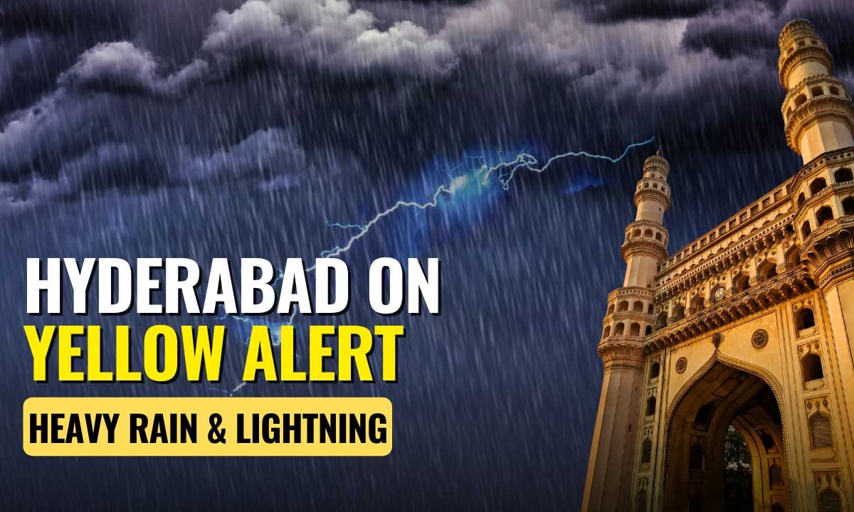
Heavy Rains and Thunderstorms to Lash Hyderabad and Telangana Today, IMD Issues Yellow Alert
Heavy rains with thunderstorms to lash Hyderabad & Telangana today. IMD issues a yellow alert for 10 districts. Get the latest forecast, safety tips, and traffic impact details.
HYDERABAD – Residents of Hyderabad and several Telangana districts are advised to brace for significant rainfall and thunderstorms on Monday, September 22, 2025. The India Meteorological Department (IMD) has issued a yellow alert, warning of potential disruptions due to heavy downpours, lightning, and gusty winds.
The alert underscores a period of intense weather activity for the region, with a more severe system predicted to develop later this week.
Table of Contents
Districts Under Yellow Alert
The IMD’s yellow alert for heavy rainfall on September 22 covers the following ten districts:
- Nirmal
- Nizamabad
- Rangareddy
- Vikarabad
- Sangareddy
- Mahabubnagar
- Nagarkurnool
- Wanaparthy
- Narayanpet
- Jogulamba Gadwal
These areas are expected to experience heavy rainfall accompanied by thunderstorms, lightning, and gusty winds reaching speeds of 30-40 kilometers per hour.
Hyderabad’s Weather Forecast
For Hyderabad city, the weather forecast indicates a generally cloudy sky throughout the day. The specific predictions include:
- Rainfall: Light to moderate rain or thundershowers.
- Winds: Gusty winds of 30-40 kmph likely during thunderstorms.
- Temperatures: A maximum temperature of around 32°C and a minimum of 22°C.
- Visibility: Mist or hazy conditions are expected during the morning and night hours.
Weather officials indicate that while the city may remain dry until the afternoon, the likelihood of thunderstorms with lightning increases significantly from the evening into the night.
Warning After Recent Downpour
This new alert follows a night of intense rainfall that severely impacted eastern parts of Hyderabad between September 21 and 22. Recorded rainfall highlights from that event include:
- Defence Colony in Hayathnagar: 91.8 mm
- GHMC Office in Kapra: 77.5 mm
- Cherlapally: 68.5 mm
The sudden heavy rain led to substantial waterlogging in key areas such as Mettuguda, Moula Ali, SR Nagar, Panjagutta, Ameerpet, and Secunderabad Cantonment, severely hampering traffic movement.
Bigger Weather Threat Later This Week
A more significant weather system is developing over the Bay of Bengal. A low-pressure area is expected to form around September 25, which is likely to intensify into a depression and cross the South Odisha-North Andhra Pradesh coasts by September 27.
This system has an 80% probability of moving through Telangana, potentially bringing:
- Very heavy to extremely heavy rainfall across the state on September 26 and 27.
- The possibility of severe downpours in Hyderabad, depending on the storm’s final track.
Safety Advisory for Citizens
In light of the forecasts, authorities have issued safety recommendations for the public:
- Avoid unnecessary travel during periods of intense rainfall.
- Do not walk or drive through waterlogged streets.
- Stay clear of electric poles and fallen wires.
- Secure loose objects outdoors and avoid taking shelter under trees.
- For emergencies, contact the GHMC helpline at 040-21111111 or dial 100.
Citizens are urged to stay updated with the latest weather bulletins as the situation develops over the coming days.