Southwest Monsoon Likely to Enter South Andaman Sea by May 13
A north-south trough from Marathwada to the Gulf of Mannar, across interior Karnataka and Tamil Nadu, continues to persist at 0.9 km above mean sea level.
The Southwest Monsoon is expected to advance into the South Andaman Sea, some parts of the Southeast Bay of Bengal, and the Nicobar Islands around May 13, according to the Meteorological Centre in Amaravati.
Table of Contents
Further Advancement Expected Over Bay and Arabian Sea
In the days following May 13, the monsoon is likely to progress further over:
- Parts of the south Arabian Sea,
- Maldives & Comorin area,
- More regions in the South Bay of Bengal,
- The entire Andaman & Nicobar Islands,
- The Andaman Sea, and
- Portions of the central Bay of Bengal.
Thunderstorms and Gusty Winds Forecast for Andhra Pradesh
A north-south trough from Marathwada to the Gulf of Mannar, across interior Karnataka and Tamil Nadu, continues to persist at 0.9 km above mean sea level.
Meanwhile, an upper air cyclonic circulation over south Andhra Pradesh at 1.5 km above mean sea level has weakened.
As a result, thunderstorms accompanied by lightning and gusty winds (40–60 kmph) are likely at isolated locations in:
- Coastal Andhra Pradesh
- Yanam
- Rayalaseema
over the next five days.
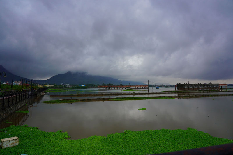
Rainfall Likely in Several Regions
The weather report also indicates that light to moderate rain or thundershowers are likely at:
- Many places,
- A few places, or
- Isolated locations
in Coastal Andhra Pradesh, Yanam, and Rayalaseema during the next seven days.
Temperature Trends Remain Stable
No significant change in maximum temperatures is expected in the region over the next four days. However, a slight rise in temperatures is anticipated thereafter.
In the past 24 hours, rainfall occurred at one or two locations across Coastal Andhra Pradesh, Yanam, and Rayalaseema, the report added.