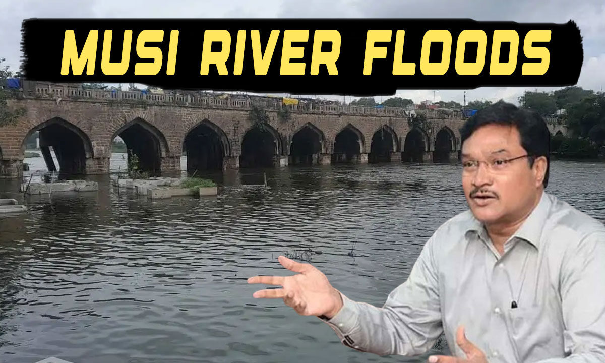
Is Hyderabad Heading for a 1908-Style Flood? Experts Call for Mapping Musi with Satellite Data: HYDRAA
The focus was on the “Demarcation of Musi River Boundaries and Identification of Drainage Networks within the ORR.”

Hyderabad: With Hyderabad increasingly vulnerable to urban flooding due to pollution, environmental imbalance, and extreme rainfall events, the Hyderabad Design and Research Architecture (HYDRAA) group organized a strategic brainstorming session on Friday. The focus was on the “Demarcation of Musi River Boundaries and Identification of Drainage Networks within the ORR.”
Table of Contents
No Direct Role in Beautification Project, But Concerned About Encroachments
Though HYDRAA is not officially involved in the Musi Riverfront Beautification Project, the group has received several complaints regarding illegal encroachments along the Musi. In response, experts convened to explore how to scientifically and accurately identify the river’s legal boundaries.
Participants discussed applying the same methodology used to identify Full Tank Levels (FTL) of lakes to determine the Musi River’s Maximum Flood Level (MFL), using historical revenue and village records.
Using Technology and Data to Define Boundaries
Experts recommended using hydrological data, NRSC satellite imagery, and Survey of India records to accurately delineate the river’s floodplain. The goal is to prevent future constructions and ensure safe development along Musi’s path. Past floods—such as those in 1908, 1954, 2000, and 2008—were reviewed to stress the importance of unobstructed floodwater flow.
Ensuring Drainage Network Remains Unblocked
Participants emphasized the need to preserve and restore the city’s natural drainage system. It was noted that GHMC has over 940 culvert points, many of which are clogged with garbage, obstructing the natural flow of rainwater.
Concerns were raised over severed links in the drainage system and narrowed nalas. Experts suggested either widening these drains or rerouting them, wherever feasible, without harming existing structures.
Integrated Planning for Roads and Drains
Several experts stressed that the same planning principles applied to road widening should also be implemented for the development of the drainage system. A comprehensive survey of the city’s nalas was proposed to create a scientifically sound and long-term drainage strategy.
Multi-Agency Participation
The session saw participation from experts representing multiple key departments, including Revenue, Survey of India, Irrigation, Hydrology, SNDP, NRSC, GHMC, Musi Riverfront Development Corporation, and Urban Development bodies.

